
Kurram District
Trend Analysis
Demographics | 1998 | 2017 |
Area SqKms | 3380 | 3380 |
Population | 448310 | 619553 |
Population Density / SqKm | 133 | 183 |
Rural Population | 448310 | 619553 |
Total Housing Units | 44595 | 49595 |
Housing Units having Electricity | 21368 | 31368 |
Housing Units Having Piped Water | 14525 | 21525 |
Housing Unit using Gas for cooking | 1223 | 2223 |
Source: Pakistan Bureau of Statistics
Outline
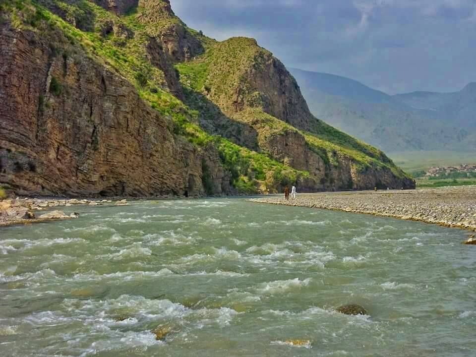
Kurram district takes its name from the Kurram River with a population size of 619,553; it is the most scenic valley in the entire tribal belt on Durand Line. It is located in the Northwest of Pakistan and more specifically in previously central FATA. It is bordered with Afghanistan in the North and West, Kohat in the Southeast, North Waziristan in the South and Khyber and Orakzai districts in the East. The total area of the district is 3,380 square kilometers.

1. Power Sector
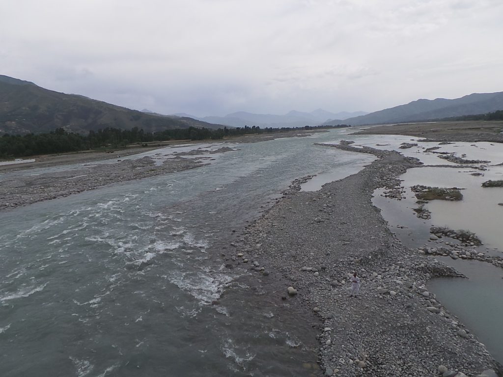
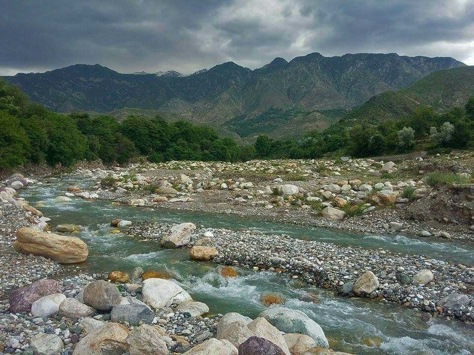
The main river is the Kurram River, which extends into the Khurmana and the Kirman rivers that are prone to violent flooding. Kurram has a few water reservoirs locally, basically these are water supply schemes for domestic purposes.
Chapar Charkhal
FATA Development Authority has identified the above mentioned site in Kurram which has the potential to generate 13 MW hydropower, the design work is in progress and it was supposed to be completed in 2016-17.
Malana Dam
Located in the north of Parachinar town this dam was constructed in 1857. Most of the population of Parachinar town depend on this reservoir and the dam is famous among the locals as a picnic resort.
Zeran Dam
Zeran dam is located to the North-East of Parachinar. It is also famous for its scenic beauty. This reservoir served water for Parachinar town before the construction of Malana dam, still the dam contributes much water to a large part of the town Parachinar.
Kot Ragha Dam Malikhel
This is a small size reservoir, largest in the Kurram, and was built in Kot Ragha (Malikhel). It contains about 70,000 fish and has capacity to provide water to about 2500 sqkm area.
2. Forestry
The total forest cover, both manmade and natural, is 2070 hectares providing opportunity to earn carbon credit by involving locals, Forest Department. Some reports suggest that the forest area of Kurram is 22% of the whole previous FATA, however, it is not verified.


3. Minerals
Minerals data is collected from Fata Development Authority website (http://fatada.gov.pk/mineralssector-projects/). Minerals in the Kurram district include Soapstone 3.2 million tons, Coal 2.0 million tons and also reserves of Marble, Magnesite, and Iron Ore, Lead, oil & gas. As per FATA Development Authority Annual report of year 2015-16, Oil and Gas reserves have been identified in Tirah Block (which includes Khyber, Kurram and Orakzai districts), and hence various Oil and Gas companies have established camp offices in this block. Two new schemes for Metallic Minerals Exploration and Decorative & Dimension Stones in FATA approved. Work in Orakzai & Kurram Agencies has been started.
")


4. Tourism
In Kurram Agency, the identified potential tourism sites are Parachinar, Kirman, Zairan, Shalozan, Khar Lachi Fort, Chapri, Terimengal and Koh-e-Sufaid.


5. SWOT Analysis
Strengths
- Kurram River that passes through Kurram district can be used for generating power. Besides Kurram river small dams are already constructed which can be utilized for hydroelectric purposes.
- Forest cover area of 2070 hectares.
- Large quantity of soapstone and coal.
- Oil and Gas reserves.
Opportunities
- On priority bases, ensure that the current and medium-run (5 years) energy demand of local consumers is met first.
- Identify and work on projects (small dams) which have capacity to generate electricity.
- In addition, some backup projects for current demand of electricity be initiated as well.
- For winters, when electricity supply would be low, make arrangements for alternative supply sources.
- Supply of Electricity from the National Grid.
- Alternate sources of power generation can also be planned and initiated.
- If possible implement plans for construction of more Hydro Power Stations for excess electricity.
- Explore the area using latest technology to quantify the hydrocarbon reserves, joint ventures with local and international firms may be established.
- Road and other communication infrastructure be improved for ease in supply of raw material.
- Mining of Soapstone, Coal and other minerals needs to be quantified. The potential has not been quantified yet. The decision to go for the development / extraction of these minerals need to be taken very thoughtfully and given attention to the impact on environment and Kurram’s image due to sectarianism.
- With all developed countries having exceeded their quota of carbon emission designed by UNEP, it is opportunity for developing countries like Pakistan to earn some carbon credits by growing and preserving forest. This is where Kurram like other districts can play a crucial role.
- Branding activity, accessibility to the tourist spots, improvement in existing infrastructure like hotels and restaurants, ensure security and other tourism related facilities shall be provided.
6. Conclusion
As Kurram district possesses small dams it has ability to generate power and satisfy its requirements. PEDO should also start utilizing these resources. Furthermore the FATA Development Authority can explore and excavate the minerals from Kurram districts. These indicators increase the commercial viability of Kurram district making it opportunistic for investors. Hydrocarbon exploration is another venue of generating revenue for the district. Kurram district is the most scenic district in the tribal belt, huts and restaurants can also be made there to elevate tourism in the valley.